Spatial Actuarial Intelligence
Messy addresses in,
clean coordinates out.
Upload an MS Excel spreadsheet or CSV file of South African addresses, tell us which columns hold the address, and download latitude, longitude, a standardized address and the property key for every row - matched against Riskscape's own national address and property data.
Six steps from spreadsheet to geocoded file
This is the actual flow, animated. It plays through on its own - click any step to jump to it. Every address, reference and property key shown below is fictitious sample data.
The result file, column by column
Your identifier comes back on every row, so the output drops straight into a join. Choose only the fields you actually need.
Two ways to give us the address
full_address column, or build it from separate street, suburb, town and postal code columns. Either way you see a live preview of the exact string we'll geocode before you start.Province preference
CSV or GeoJSON
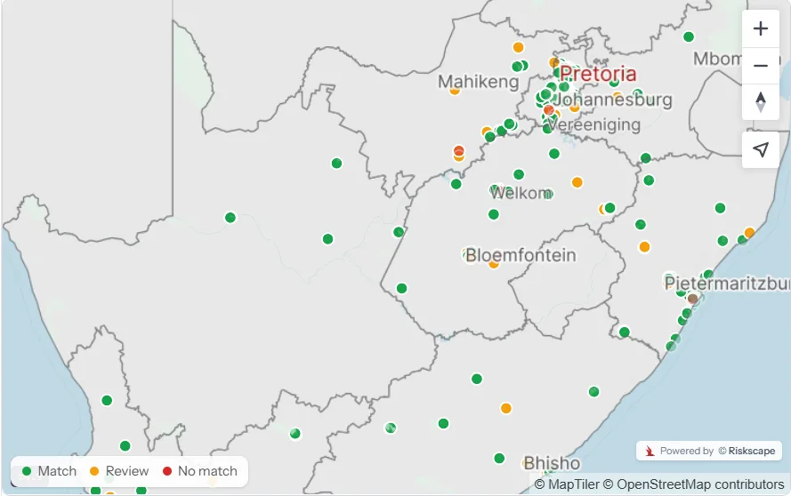
Every row is graded, not guessed
The expensive mistake in geocoding isn't a missing coordinate - it's a confident-looking coordinate that's wrong. So every row lands in one of three buckets, and you decide what to do with the middle one.
Match
Review
No match
The review step earns its keep
What moves your match rate
Your file stays yours
Address data is personal information. The geocoder is built so you hand over the least possible amount of it - and so nothing lingers.
If your addresses live in a spreadsheet, this is for you
No GIS licence, no data science team, no integration project. A CSV and a browser.
Insurers & actuaries
Banks & lenders
Government & municipal
Anyone with a messy list
Straight answers
The questions we get asked before the first job - on formats, matching, pricing and what happens to your file.
What match rate should I expect?
How big can my file be?
Can I stop a job part way?
What happens to the rows I don't trust?
How long do you keep my results?
Is my data used to train or improve anything?
Can my team see the same job?
Run a sample of your own addresses
Sign up on Console and start bulk geocoding your addresses immediately.